Crotto Dangri

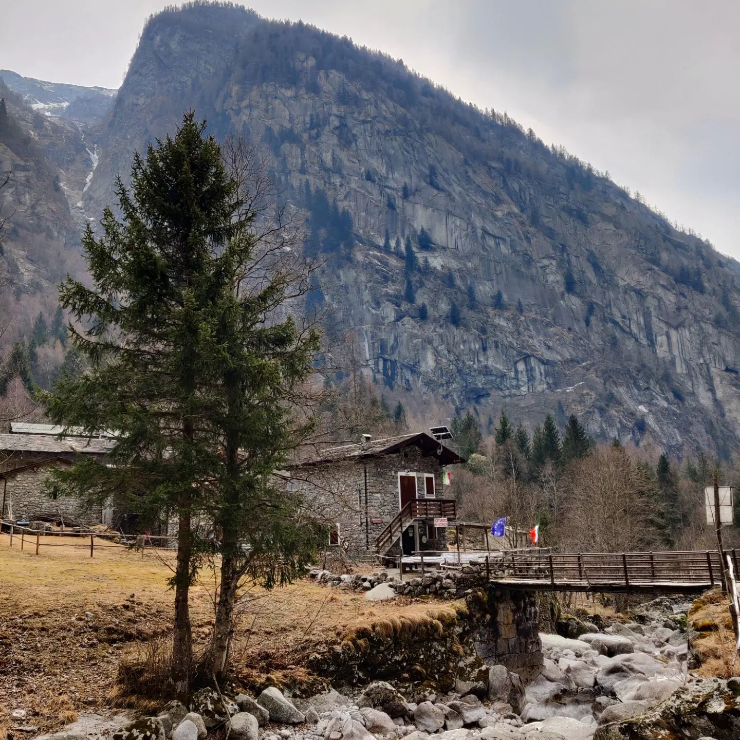
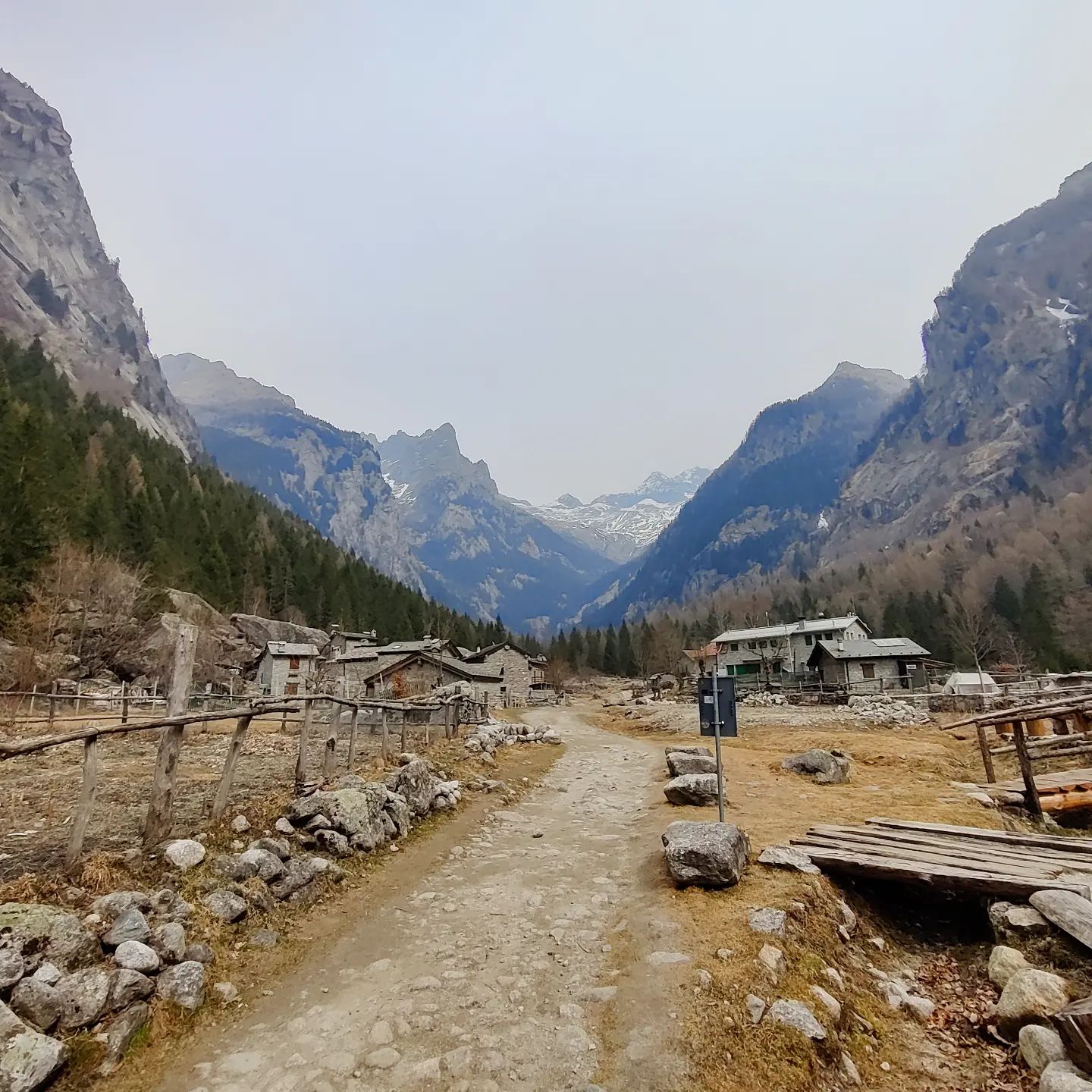
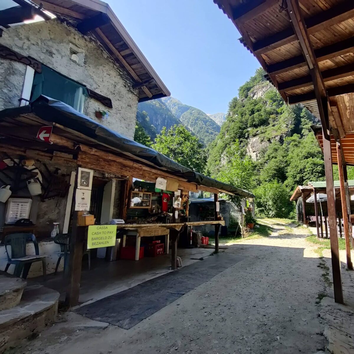
Most guests with an affinity for hiking come to Crotto Dangri at some point: by car to Livo, then on foot. The path is well signposted and can be used by people who have access to it, so it is easy to walk. Later on, it leads along a mountain stream that has more or less water depending on the season. After about an hour you reach the Crotto with its simple but tasty regional cuisine. The path is partly shaded by trees, partly it leads openly along the slope. At the finish point, there are some pools of water in the river that invite you to take a cool dip in summer. The trail is part of the Via dei Monti Lariani and can be followed further in either direction.

Crotto Dangri @Komoot

Click here to display the embedded map from OpenStreetMap.
Learn more in OpenStreetMap’s privacy policy.


Show larger map

Val di Mello

The Val di Mello is a paradise for various mountain sports enthusiasts as well as for those who simply want to enjoy the tranquillity of the idyllic valley on a long walk – at least in the low season. The granite flanks can be climbed and the high mountains around invite you to go on mountain hikes. There are also several inns in the valley, but in the low season you should find out beforehand whether they are open before you expect too much.

An insider tip for those who don’t want to walk so much: in San Martino you can buy a pass for €10, which allows you to drive the 30 minutes or so from San Martino to the valley.

Click here to display the embedded map from OpenStreetMap.
Learn more in OpenStreetMap’s privacy policy.


View Larger Map

Piona Abbey

The abbey is located on a peninsula in the north-east of Lake Como near Colico. In addition to the 13th-century monastery building and the monastery garden, which is well worth seeing with a good view of the west side of the lake, the monks also sell home-distilled schnapps, their own honey and other home-made goods.

The picturesque village of Piona itself is also worth a visit.

Abbey website

Click here to display the embedded map from OpenStreetMap.
Learn more in OpenStreetMap’s privacy policy.


See a bigger map